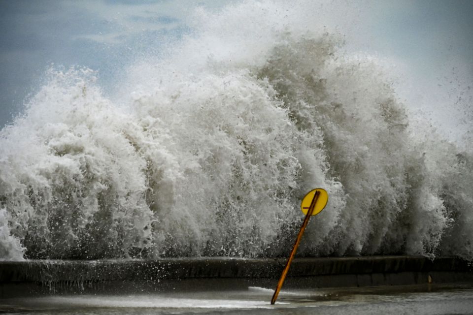
“Florida is ready to respond. We have fleets of high water vehicles, 42,000 linemen, 7,000 National Guardsmen and 179 aircraft ready to help,” said the Florida governor.
Ian made landfall as a catastrophic Category 4 hurricane near North Captiva Island at 2:20 p.m. with maximum sustained winds of 155 mph, according to AccuWeather forecasters
Hurricane Ian made landfall shortly after 2:20 p.m. m. Wednesday as a Category 4 storm, AccuWeather forecasters reported.
The storm made landfall near North Captiva Island, Accuweather reported with maximum sustained winds of 155 mph, according to forecasters.
#HurricaneIan makes landfall as a catastrophic Category 4 hurricane near North Captiva Island at 2:20 p.m. EDT with maximum sustained winds of 155 mph, according to AccuWeather forecasters. https://t.co/T5shnZ1Ev0 pic.twitter.com/z5fmHH1vM4
— Breaking Weather by AccuWeather (@breakingweather) September 28, 2022
Satellite images show the catastrophic storm hitting the southwestern coast of Florida. The area around Fort Myers and Miami is expected to bear the brunt of the impact.
The landfall came less than an hour after Governor Ron DeSantis assured Floridians that the state was “ready” for the Category 4 storm.
305 PM EDT 28 Sep — Hurricane #Ian has made landfall as an extremely dangerous Category 4 hurricane near Cayo Costa, Florida with maximum sustained winds at 150 mph. The minimum pressure from Air Force Reconnaissance Hurricane Hunters was 940 mb.
Latest: https://t.co/tnOTyfORCw pic.twitter.com/O3agPDOZHk
— National Hurricane Center (@NHC_Atlantic) September 28, 2022
DeSantis’ message comes amid reports from Florida’s west coast, where the unprecedented storm is expected to hit Naples before traveling north to Fort Myers and Tampa.
The hurricane is already “causing catastrophic storm surge, winds and flooding” in Southwest Florida early Wednesday afternoon at the start of what could be a disaster track across the peninsula.
The National Hurricane Center said the massive Category 4 storm was already taking a heavy toll on the southwestern Gulf Coast.
The most immediate and life-threatening concern was storm surge from Gulf of Mexico waters being pushed inland by Ian.
Numerous videos posted online showed torrents of seawater rapidly filling the streets of Sanibel and Fort Myers Beach.
Naples also reported a record six-foot rise. Early, sections of Key West were flooding.
The National Hurricane Center’s storm surge predictions shot up 18 feet for Englewood to Bonita Bay, a forecast so high that a new color was added to the National Hurricane Center’s maximum storm surge prediction map.
The worst of that storm surge is expected after landfall and later tonight.
Ian was also lashing much of Florida with hurricane and tropical storm force winds and will dump torrential rain estimated at up to two feet as it slowly crosses the state today and into Thursday.
Ian was a massive storm and by Wednesday morning, its outer bands were lashing southwest Florida with gusts up to 112 mph as the eyewall battered Sanibel and Captiva Islands.
South Florida saw tornadoes overnight that flipped small planes and downed large trees, and Key West recorded one of its highest overnight storm surge levels.
Seawater still lingered in many neighborhoods, including on sections of famed Duval Street and inside homes.
Gov. Ron DeSantis said Wednesday afternoon that more than 200,000 people had already lost power, which he called a “drop in the ocean of what’s going to happen in the next 24 hours.”

