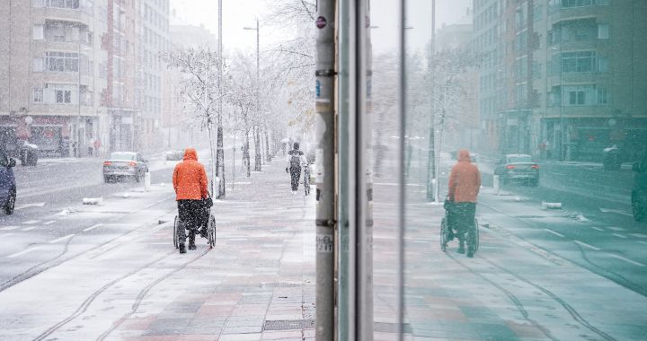
The anticyclonic weather continues and this means that, even if spring is approaching, the harshest cold of winter will continue to be with us for several days more and it will become the protagonist of the weekend, when, according to the forecasts of the National Meteorological Agency (Aemet), the frosts will intensify in much of the interior of the country, reaching minus six degrees in the early morning in some specific points of the Cantabrian mountain range and the center of the peninsula.
But it won’t just be cold in the north. The Aemet provides the entry of strong gusts of easterly wind laden with moisture Andalusian Mediterranean coast which will cause a colder thermal sensation while promoting the presence of clouds and light showers.
Precisely this Levante wind that will affect the coasts of Almería, Granada, Malaga and Cádiz has led the Aemet to activate orange level alerts throughout the province of Cádiz and the coasts of Granada and Almería to warn of the danger of blizzards, which can reach the 90 kilometers per hour at certain points.
In the same way, the Aemet has also introduced for Saturday 11 and Sunday 12 February 12 yellow level alerts inside the country warning of the danger of low temperatures; So according to your predictions, in the provinces of Zamora, León, Burgos, Soria, Teruel and Zaragoza, as well as in the south of Guadalajara, it could reach -6ºC and even in the area of Parameras de Molina exceed -7ºC.
Likewise, for Saturday the Aemet has also activated yellow notices inside and to the south of the Majorca Island, where the proximity of the ocean will calm the cold snap a little, but all the same lows of -2ºC will be recordedwhich will be extended on Sunday to the entire Balearic archipelago.
In the Canary Islands, the temperatures will be much milder than in the peninsula, but the weather will not be stable either. There, the Aemet has activated the yellow alert for heavy rain in the province of Tenerife throughout the weekend, where showers are expected on all the islands except north of the capital.
Next week the weather changes
After a typical winter weekend, a break will finally come. On Monday, Aemet expects temperatures to begin to rise across the country and even exceed the usual average for this time of year across the country except in the Mediterranean basin, where they will remain within the usual margins for the second half of February.
But just because it’s warmer doesn’t exactly mean the weather will be nice during the week. Meteorologists predict that between February 13 and 19 the rains are the protagonists several days in the south of the Peninsula and on the coasts of the Mediterranean. In the rest of the country, the environment will remain dry.
As for the following week, the forecast calls for normal temperatures for the time of year in which we find ourselves and a generally dry environment that will make each day feel a little more spring-like than the previous one.

