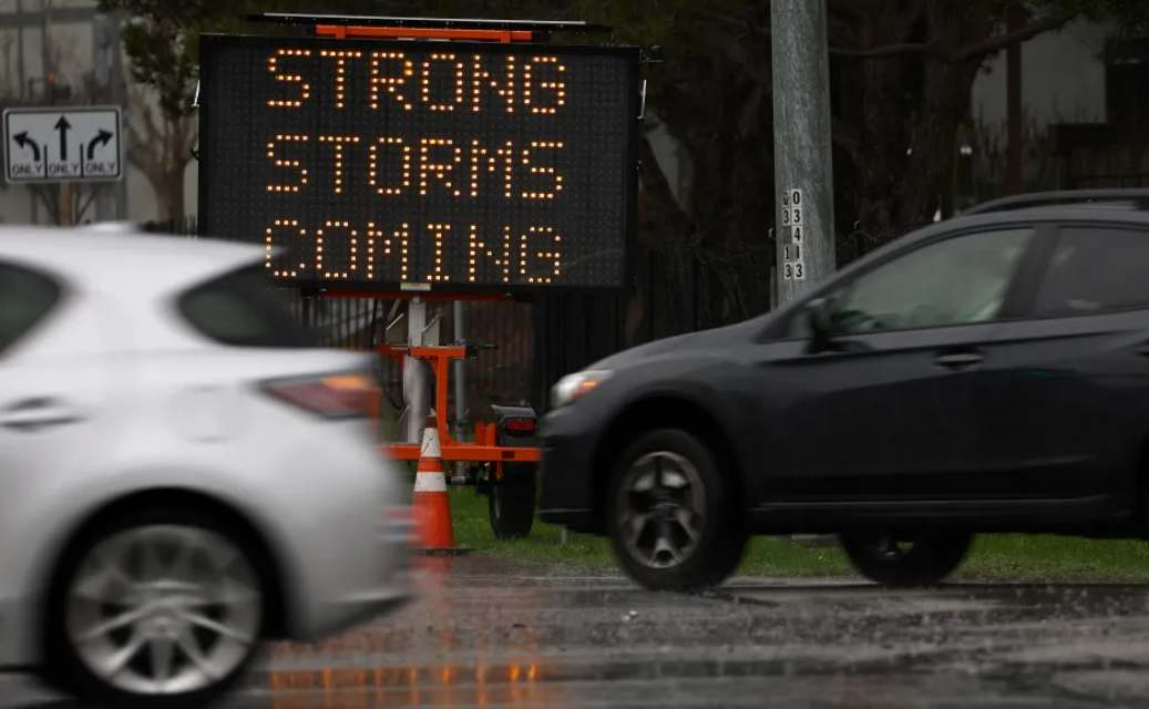
The National Weather Service forecasts two days of heavy precipitation for this Monday and Tuesday in most of southern California; More than an inch of rain could be recorded in downtown Los Angeles
A new winter storm coming from the north will begin to impact southern California from this Sunday night with more intense rains in some parts of the region.
The National Weather Service (NWS) forecast that this atmospheric cold will cause two consecutive days with heavy precipitation, for this Monday and Tuesday, which could exceed an inch in downtown Los Angeles, while in other communities it could reach three. inches of water.
Even, according to meteorologists, the intensity of this winter storm could be more intense compared to what was recorded in recent days, with the risk of flooding and strong winds that could cause power outages.
In some parts of Ventura County it will begin to rain as early as Monday morning; while in Los Angeles County, precipitation is expected to begin at approximately noon.
By Tuesday morning, the rain will cover practically all of southern California, conditions that will continue throughout the day, while Wednesday will have a drier environment.
This Sunday,. in Los Angeles County it will register a maximum temperature of 63 degrees, under cloudy sky conditions and with the possibility of a light rain.
Heavy snowfall above 7,500 feet is expected in mountainous areas.
Wind gusts will be between 50 and 60 miles per hour on the central coast, while 60 to 70 miles per hour in the mountains, the NWS forecast.
On the beaches, meteorologists warn of high waves. Last week, these conditions led to beach closures and pier damage along the California coast from the bomb cyclone.

