- Florida authorities remain on high alert for the imminent arrival of Ian, which was strengthened to category 4 “extremely dangerous”
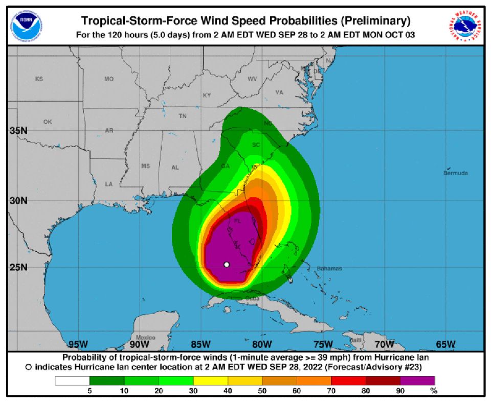
Hurricane Ian has strengthened to category 4 and is moving north towards the west coast of Florida (USA) where “catastrophic winds” and “life-threatening storm surges” are expected, according to the latest reports from the National Hurricane Center ( NHC, in English) from the United States.
It was after 3:00 in the morning, local time, that the Air Force hurricane hunters reported that the meteorological phenomenon intensified to category 4 “extremely dangerous”.
Hurricane #Ian Advisory 22: Air Force Hurricane Hunters Find Ian Has Strengthened Into An Extremely Dangerous Category 4 Hurricane. Expected to Cause Life-Threatening Storm Surge, Catastrophic Winds and Flooding in the Florida Peninsula. https://t.co/tW4KeFW0gB
— National Hurricane Center (@NHC_Atlantic) September 28, 2022
“Air Force Hurricane Hunters discover that Ian has become an extremely dangerous Category 4 hurricane. It is expected to cause life-threatening storm surge, catastrophic winds and flooding across the Florida panhandle.”
The National Hurricane Center (NHC) specified that the hurricane is about 65 miles (100 km) south-southwest of Punta Gorda, in southwestern Florida, and its impact zone is located to the north, in Tampa Bay.
Hurricane Ian strengthens to a Category 4 Hurricane this morning. Wobbles in the forecast track have not changed expected threats and impacts locally. pic.twitter.com/O7ASWXyhhr
— NWS Miami (@NWSMiami) September 28, 2022
“Hurricane Ian strengthens to a Category 4 hurricane this morning. The fluctuations in the forecast trajectory have not changed the expected threats and impacts at the local level,” says NHC Miami.
The meteorological phenomenon is heading with winds of more than 240 km / h and is expected to make landfall on the afternoon of this Wednesday, September 28, local time.
Over the weekend, Florida Governor Ron DeSantis declared a state of emergency for the entire state, activated 5,000 National Guard troops and warned of “wide-spread impacts.”
— Ron DeSantis (@GovRonDeSantis) September 28, 2022
It is estimated that more than 2.5 million Florida residents are under some type of warning and evacuation order, while the authorities are constantly calling on the population to take extreme precautions in the face of Ian’s advance.
As it passed through Cuba, Cyclone Ian left the entire island without electricity, as well as destroyed homes and severe flooding.

