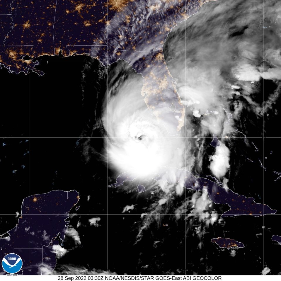
The National Hurricane Center said that the category 3 storm, at that time, was expected to continue to strengthen after passing through Cuba, so tonight it could reach a new level of danger.
Hurricane Ian could become a Category 4 storm as it heads toward Florida, forecasters say, meaning its winds could reach speeds of 130 to 155 miles per hour and waves could top 16 feet.
This forecast comes after Ian made landfall in Cuba, with maximum sustained winds of 125 mph and caused the complete blackout of the island due to the damage to its electrical network.
Forecasters expect the storm to continue to intensify as it moves north toward Florida’s west coast, where a hurricane warning has been issued from Chokoloskee to the Anclote River, including Tampa Bay and the Dry Tortugas.
Here are the 11 PM EDT 9/27 Key Messages for Hurricane #Ian. Conditions are expected to continue to deteriorate across central and south Florida tonight. pic.twitter.com/u7rBXatfoH
— National Hurricane Center (@NHC_Atlantic) September 28, 2022
Several counties along Florida’s west coast have issued evacuation orders. It’s not yet clear where exactly Ian will make landfall, but models suggest he could reach the Sarasota area by Wednesday.
Ian is expected to bring 12 to 18 inches of rain to central and northeast Florida, and 6 to 8 inches to the Keys and south Florida through Thursday.
As of Tuesday night, Hurricane Ian was about 110 miles from Naples, Florida, and had maximum sustained winds of 120 mph, according to the National Hurricane Center.
It was moving northeast at 10 mph but was expected to slow down overnight, the center said in its 11 p.m. update.

