What you should know
- Wednesday’s forecast includes scattered showers before the storm begins to move.
- The latest system triggered a rare tornado warning for parts of Los Angeles and Ventura counties.
- Temperatures will be 10 to 15 degrees lower than normal and a winter storm warning remains in effect for the mountains in the Los Angeles area.
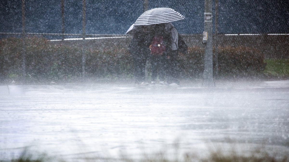
An early spring storm that picked up where a barrage of winter storms left off will bring mountain snow and scattered showers on Wednesday a day after downpours, flooding and even a rare tornado warning hit southern California.
Showers will be scattered Wednesday and not as heavy or widespread as Tuesday. Most of the rain will remain in the north, including the already saturated Bay Area.
Thunderstorms are possible again on Wednesday.
Marcos Mora offers some tips on how to drive in inclement weather conditions.
Up to 3 inches of rain is expected along the coast and in the valleys by the time the storm retreats Wednesday. Hill and mountain communities will see 3 to 6 inches of rain.
In the mountains, a winter storm warning remains in effect for most of the region until 11 p.m. Total accumulations will reach 2 to 5 feet of snow above 6,000 feet with 10 to 20 inches between 5,000 and 6,000 feet and 2 to 10 inches between 3,500 and 5,000 feet.
Several inches of snow are possible along the Grapevine section of the 5 Freeway north of Los Angeles. Strong winds will blow up to 75 mph in the mountains.
Temperatures will be 10 to 15 degrees below normal.
Some showers may last until Thursday, but Friday and the weekend look cool and dry.
Rare tornado warning for Southern California
In what has been a rainy season for the record books, Tuesday’s system brought the potential for something very unusual to Southern California.
A tornado watch was issued Tuesday evening for central Ventura County and southwestern Los Angeles County. At 8:17 a.m., a severe storm capable of producing a tornado over Ventura County’s Point Mugu State Park, about 10 miles south of Camarillo, was moving northeast at 35 mph.
The storm was moving west of Malibu and Newbury Park.
The ad was posted 40 years after a tornado with winds between 113 and 157 mph tore through neighborhoods south of downtown Los Angelesdestroying homes and businesses, overturning cars, throwing debris and tearing off part of the roof of the Los Angeles Convention Center.
The tornado left behind a scene of devastation typically associated with the Midwest and Southern Plains.
When a tornado watch is issued, anyone in the warning area is advised to move to a basement or an interior room on the top floor of a building. Stay away from windows.
If you’re outdoors or in an RV or car, it’s best to find a sturdier shelter and protection from flying debris.
This story first appeared on Telemundo 52’s sister station NBCLA. Click on here to read this story in English.

