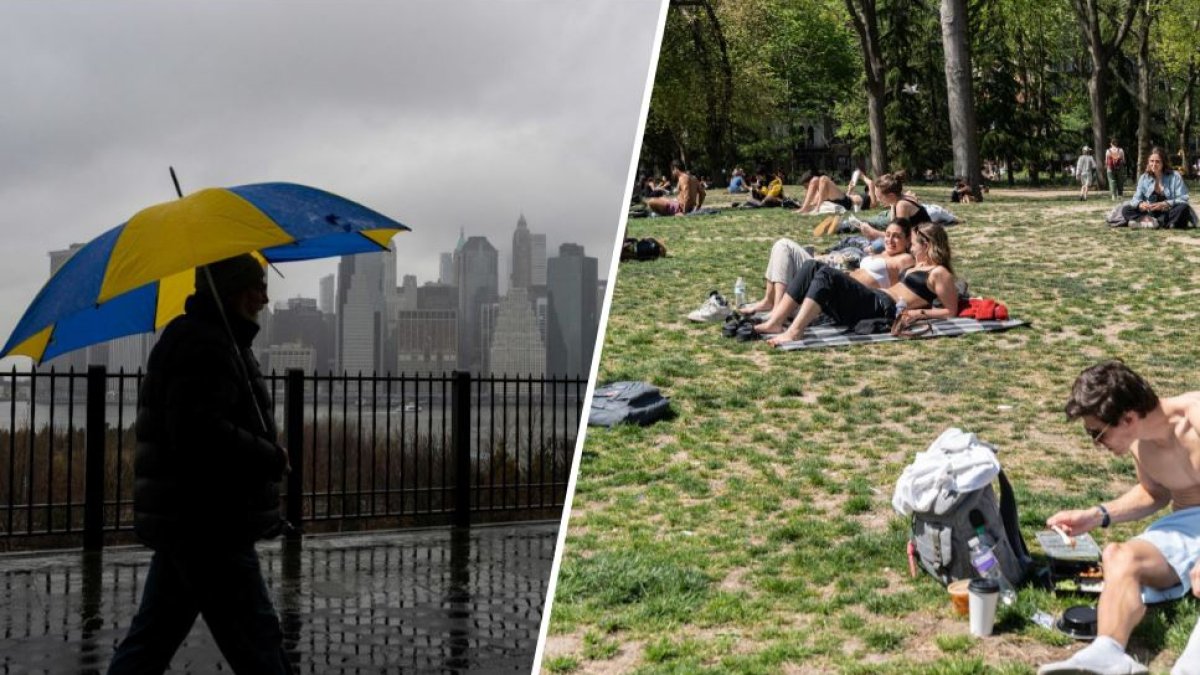
NEW YORK – This is going to be a rollercoaster stretch for the New York area, with scattered showers giving way to sunshine, then more rain and possible flooding, and even more (heavier) rain with high winds in the following days.
The action begins Wednesday with scattered showers and, for those mainly west of the five boroughs, a slight risk of thunderstorms. No adverse weather is forecast locally. Scattered showers continue to hit parts of the tri-state area overnight Wednesday and Thursday morning.
The clouds cleared Thursday afternoon giving us a glorious second half of the day, with highs in the mid 60s. Then we got wet again, as another round of showers followed on Friday and Saturday. There may be flooding issues with the first rain cycle. Check the latest severe weather alerts for your neighborhood here.
So we have even more rain to expect on Sunday. Rain is expected to become heavy later in the day. Winds will also be gusty and expected to exceed 30 mph at times.
Unlike last weekend, no tornadoes are expected, although you never know how things have gone weather-wise in recent months.
Once this system moves into early Monday, we are looking at a cooler weather pattern, with temperatures expected to peak in the 60s for most of next week. Check out your 10-day forecast for New York below.

