Pentagon Shares Satellite Data with Canada to Fight Fires
The White House said Pentagon personnel will analyze and share “real-time data” on the more than 400 active fires in Canada.
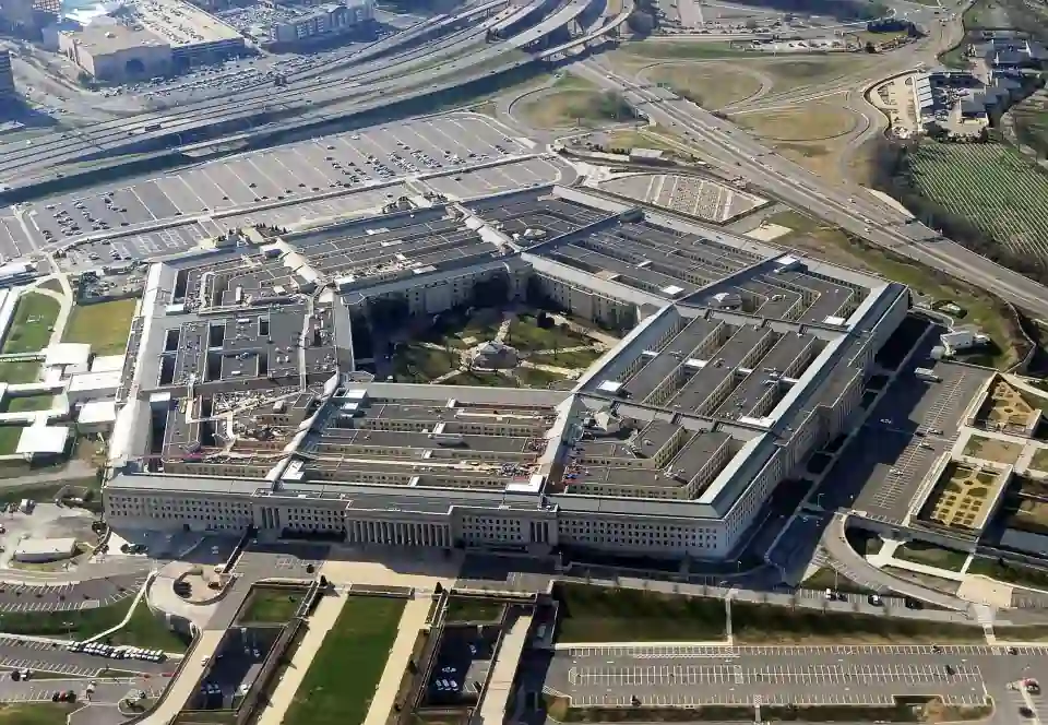
The Defense Department will share satellite information with Canada to help fight the fires that have been raging in the North American country’s forests for weeks.
The White House detailed in a statement that Pentagon personnel will analyze and share “real-time data” on the fires using U.S. satellites and sensors.
“This technology can provide early warnings of emerging fires in remote areas so that fires can be stopped before they spread and burn out of control,” a government spokesman explained.
In addition, Washington will send more material and agents to Canada to fight the fire, such as air tankers and parachute firefighters.
The cooperation is aimed at “doing everything possible to reduce the degradation of air quality in U.S. communities caused by smoke from fires burning in Canada,” the government said.
Last week, cities such as New York and Washington suffered a thick haze of smoke particles that forced the closure of public schools and led authorities to recommend citizens to stay indoors.
According to figures released by Canadian authorities, there are currently 470 active fires in the country, despite the fact that rains and lower temperatures have improved weather conditions in recent days.
In Quebec, authorities have indicated that the rain that will fall in the province at least until this weekend will help to control the flames, but it will not be enough to extinguish any of the 126 active fires.
Meanwhile, in the west of the country, in the province of British Columbia, the Donnie Creek fire, the second largest in the region’s history, has already consumed more than 2,800 square miles of forest since May 12.
So far this year, the blaze has devastated more than 4.8 million hectares of forest, an area equal to that of Belgium, Luxembourg, Andorra and Malta combined.

