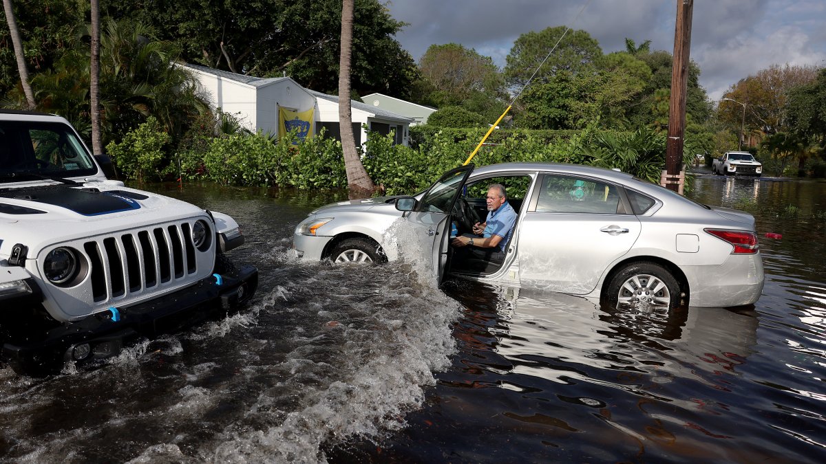
The amount of rain that fell over South Florida has reached historic proportions. Fort Lauderdale received nearly 26 inches of rain Wednesday, breaking the previous record by over 11 inches! The extent of the affected area is also impressive. We saw 10 inches or more of rain from Oakland Park in the north, Plantation in the west and Hallandale Beach in the south in less than 12 hours. What happened?
A cold front moved across South Florida on Sunday evening and stuck in the Florida Straits for a few days.
An area of high pressure to the north allowed an area of moisture moving east to west to settle over the region, bringing periods of heavy rain from the Atlantic on Monday and Tuesday, but it did not was just the beginning.
A low pressure system began to develop along the front in the central gulf and moved north. This caused the stagnant front to the south of our region to also move north, but now as a warm front. Winds collide along all types of fronts and push air high into the atmosphere. As the air rises, it cools, condenses and eventually produces rain.
That’s exactly what the warm front was doing on Wednesday in South Florida, but that front was moving very slowly. This allowed the winds to collide over the same area for several hours. The positioning of the front brought the heaviest rains to northern Miami-Dade County and Broward County.
The precipitation rate was 2 to 3 inches per hour for 6 to 12 hours. The result was an amount of rain of historic proportions and flooding that we will probably never see again in our lifetime.
Interestingly, the highest rainfall in Fort Lauderdale, Miami and Key West occurred during the “dry season”, showing that heavy rain events can occur any month. All that is needed is a trigger.

