NEW YORK – With only a few official weeks of winter remaining, a storm has finally brought heavy accumulations to parts of New York, while other parts of the tri-state area, including much of of the Hudson Valley and northern New Jersey, could expect up to a half foot of snow from this system.
Due to weather conditions, several schools closed or announced delayed openings on Tuesday. Check school closures here.
At this point, New York and Long Island, which are under a winter weather advisory, could see 3 to 5 inches of snow, although sleet and rain are likely to mix on occasion. A mix of snow and rain is expected in New York City overnight, which will cause totals to drop slightly from where they were earlier in the day, but New Yorkers can still expect to wake up in winter conditions.
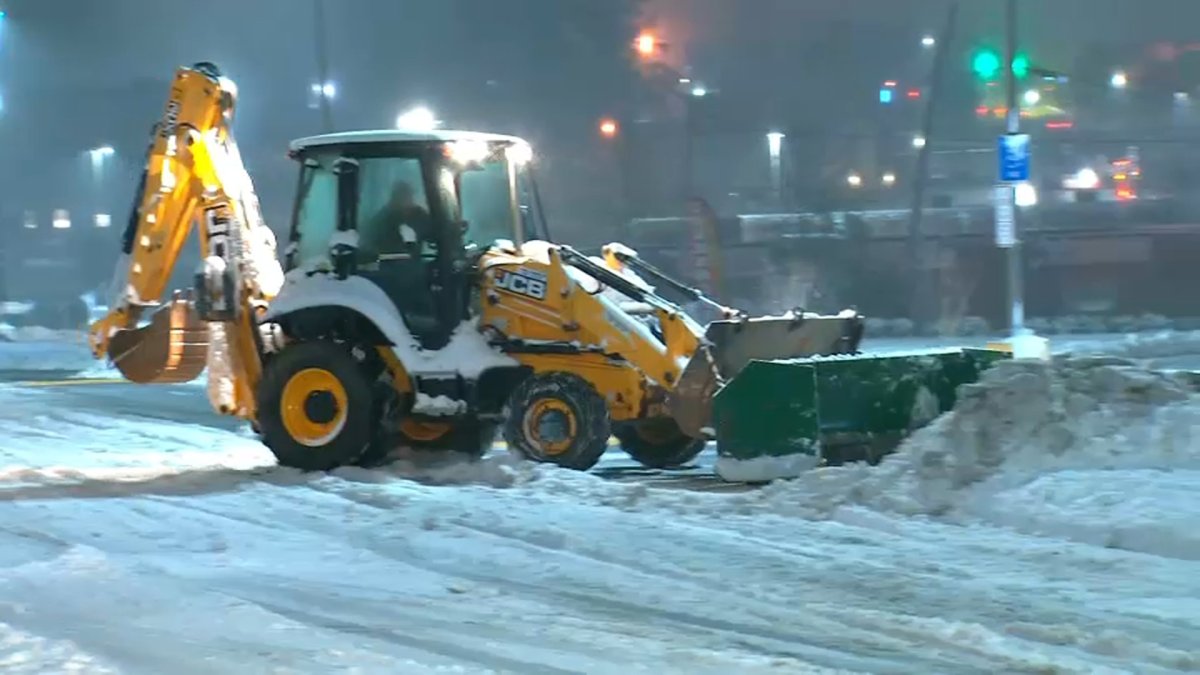
Snow began falling in the city around 6 p.m. Monday with snow rates sometimes reaching an inch per hour, creating dangerous driving conditions in northern New Jersey, the Hudson Valley and Connecticut (the county Fairfield is under winter storm warning until 10 am). Snow will continue to fall during the Tuesday morning drive in these areas. We will also see strong winds, gusting to 30-40 mph, especially near the coast.
Limit temperatures in the city are likely to affect snow totals, but snow can fall regularly overnight to push temperatures above freezing and result in really good totals (or something like that, well , anyway) for the five counties. Up to 8 inches are possible for parts of northern New Jersey, and a winter storm warning has been issued for areas of Passaic and Morris counties where heavier bands of snow are expected.
Check the latest weather alerts here.
The latest in English
Separately, the New York City Department of Emergency Management issued a travel advisory through Tuesday morning.
Governor Kathy Hochul urged New Yorkers to take the necessary precautions as a winter storm is expected to affect most of the state with heavy snowfall and strong winds starting Monday evening in parts of the capital, Mid-Hudson, Mohawk Valley, Central New York, North Country and Southern Tier regions.
Winter Storm Timeline and Expectations
Monday morning remains calm, with the storm still to the west and approaching.
TUESDAY MORNING
- New York City: Rain/snow mix; temperatures still above freezing point; gusty northeast wind; messy trip in the morning.
- Lower Hudson Valley (Westchester, Putnam, Rockland, and Orange counties): Regular snow begins to subside; 3 to 5 inches seems likely; messy trip in the morning.
- Upper Hudson Valley (Dutchess and Ulster counties): snow clears at 7 a.m.; 5 to 8 inches of buildup possible, although subject to change; messy trip in the morning.
In addition to land travel impacts, the storm also had air travel ramifications. Nearly 150 flights at JFK airport had been canceled after midnight Tuesday. Check here for flight delays or cancellations.
Below you can see a percentage chance of snow accumulation between February 27 and February 28:
Following?
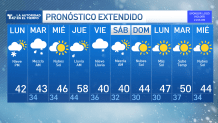
Once this system is installed, we are seeing another warming trend, with temperatures expected to climb back to near 60 degrees on Thursday. There may be another storm on Friday, with wind, rain and snow returning.


