What you should know
- Monday begins the warm temperature trend after a cool morning. Temperatures aren’t expected to rise beyond the mid-60s, but that’s when things start to change.
- The next two days will take us into the 70s before we see a real opportunity to break some record high temperatures to close out the second week of April.
- By Thursday, we will begin to climb into the 80s and peak in the mid 80s on Friday.
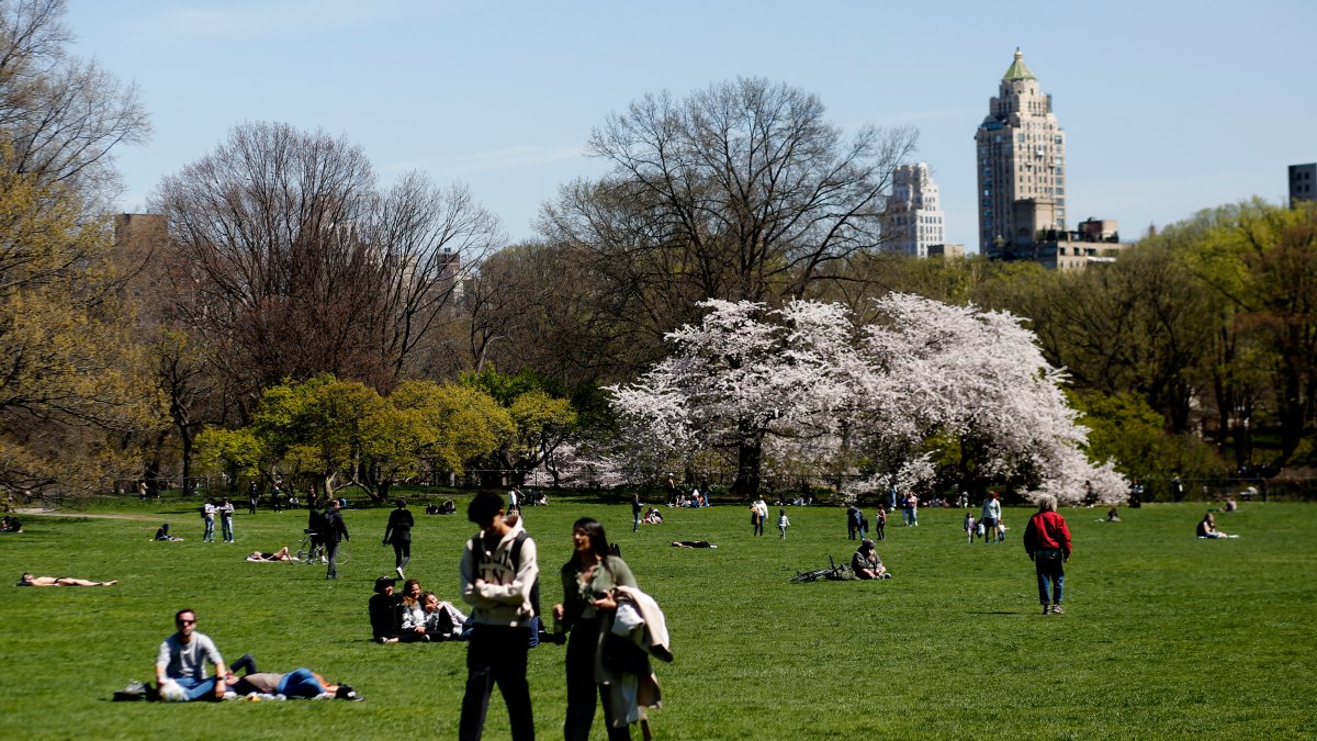
Ready to break out those summer clothes? Although we are in the middle of spring, temperatures are expected this week that could reach the 80s. Additionally, another red flag warning has been issued for New York.
Our dry spell continues with at least four more days of sunny skies, as well as temperatures rising, rising and reaching the 80s by the end of the work week.
The slow warming that began on Monday is continuing in earnest on Tuesday, with highs expected to hit the 70s in Central Park. We approach the 80s on Wednesday, surpassing this Thursday before peaking in the 80s on Friday.
New York’s forecast for that day is 84 degrees, near average for early July (minus humidity).
The combination of high pressure, super dry air and a light breeze on Tuesday and Wednesday poses an increased fire risk for the region. A red flag advisory, signifying an increased risk of fire spread, is again in effect for New York and parts of Long Island. In case you forgot, here’s what that means (and check out the latest weather alerts here).
We shouldn’t have another round of rain until Saturday, then more widespread showers on Sunday.
Most Friday records were set in the 1940s. We should be within a degree or two of hitting those highs for Central Park, LaGuardia and JFK airports, as well as Bridgeport and Poughkeepsie.
Check out the glorious 10-day forecast for New York below. After rain arrived over the weekend, expect more realistic conditions for the week ahead with temperatures in the 50s and 60s as a cold front arrives.

