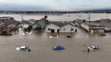
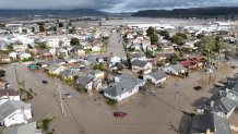
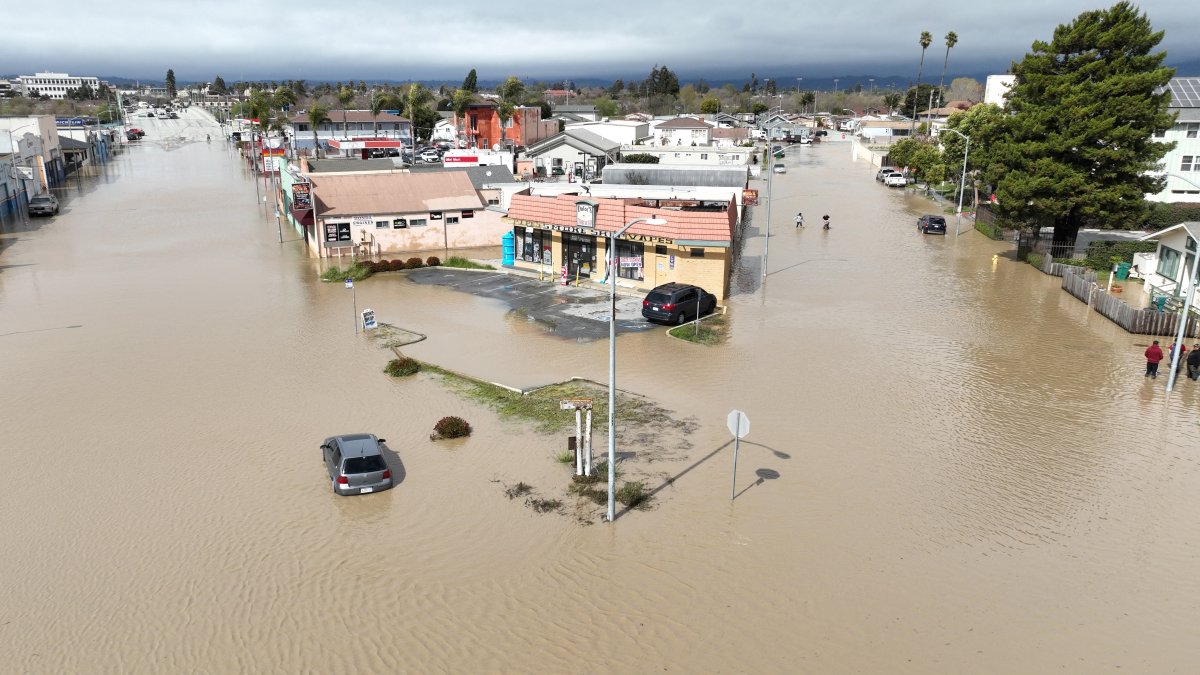
A levee breach in a storm-swollen river on California’s central coast has quadrupled in size, complicating repair efforts on Monday. The flooding has spread to farmland and farming communities after another storm, fed by an atmospheric river, will continue to impact the already saturated state.
The Pajaro River levee breach has reached at least 400 feet since it failed Friday night, authorities said. More than 8,500 people had to evacuate and around 50 people had to be rescued when the water rose.
Getty Images
Built in the late 1940s to provide flood protection, the levee has been a known hazard for decades with several breaches in the 1990s. Emergency repairs were carried out on a section of the berm in January. A $400 million rebuild is set to begin in 2025.
The river separates Santa Cruz and Monterey counties, about 110 kilometers south of San Francisco.
Monterey County officials also warned that the Salinas River could cause major flooding on highways and farmland, cutting off the Monterey Peninsula from the rest of the county. The city of Monterey and other communities are located on the peninsula.

Getty Images
Forecasters have warned of the possibility of further flooding, wind damage and power outages due to the arrival of a new atmospheric river which is expected Monday evening in northern and central l state and will move south for several days. .
“Avoid unnecessary travel and complete all preparations as soon as possible,” the San Francisco Bay Area Weather Bureau said.
California has already been hit by 10 atmospheric rivers this winter, most recently by a system that hit last week, as well as arctic air-fed storms that reached blizzard status.
Governor Gavin Newsom declared states of emergency in six more counties on Sunday after issuing declarations for 34 counties.
Last week’s atmospheric river brought warm subtropical humidity that melted the snowpack in the lower elevations of California’s Sierra Nevada, adding to the current that increased the flow of rivers and streams.
But the snowpack is so deep and cold that it absorbed most of the rain, resulting in an even heavier snowpack in the southern and central Sierras, said University climatologist Daniel Swain. from California to Los Angeles.

Getty Images
Online data from the California Department of Water Resources showed on Monday that the water content of the Sierra snowpack was 207% of the April 1 average, when it is normally at its peak. In the Sierra Sur, it was 248% of the average. The next atmospheric river-fed storm won’t be as hot as the previous one because it brought cold air, Swain said.
Although it is not an extreme atmospheric river, its rains will fall on supersaturated soils, he said.
“That’s why I’m more concerned about this one than the previous one,” he said.
In Southern California, rain is expected for most of Tuesday before easing Wednesday.
NBCLA’s Jonathan Lloyd contributed to this report.

