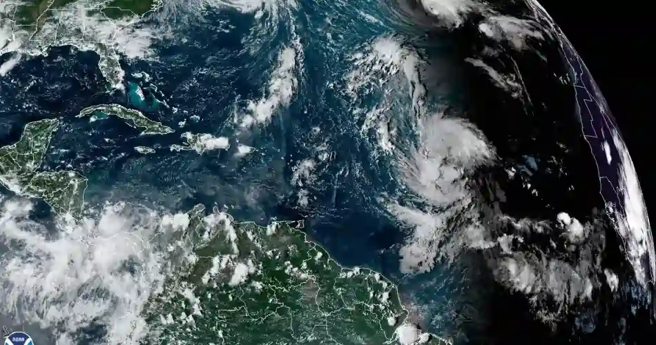
The impact of Hurricane Lee is expected to be felt in this state this weekend.
New England’s weather is highly variable, with some thunderstorms and blizzards occurring at certain times of the year. However, it is actually unlikely to be hit by any hurricane with destructive potential.
Generally, hurricanes tend to lose strength when they reach northern waters, becoming tropical or extratropical storms.
At this time, New England is preparing for the arrival of Hurricane Lee, and although this state is usually always protected from this type of phenomena by the cold waters of the North Atlantic, it is expected that this will help Lee to degrade to a tropical storm by the time it arrives on Saturday.
Several factors determine the path and strength of a hurricane. The warm waters that could strengthen a hurricane are usually south of Cape Cod. North of that point, the Atlantic waters are much cooler. That doesn’t mean that storms are not dangerous in New England.
History of hurricanes that have affected New England
The so-called “big hurricane” that hit that state was in 1938, when wind gusts reached speeds of up to 186 mph (300 km/h) and sustained winds of 121 mph (195 km/h).
But damage is not always recorded on the coast. In 2011, Hurricane Irene lost strength and became a tropical storm, but caused historic flooding in Vermont and more than $800 million in damage.
While Lee will cause problems in New England, it is headed for the east coast of Maine and the Atlantic seaboard of Canada.
The last time a hurricane warning was issued in Maine was in 2008 for Hurricane Kyle, which had already become a tropical storm by the time it passed near the state.
Once again, cooler waters are expected to reduce Lee’s potential; however, 20-foot (6-meter) waves, 70-mile-per-hour (112-kilometer-per-hour) wind gusts and more rain are forecast for an already flooded region.

