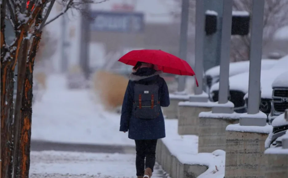
Two winter storms will dump snow from the plains into the interior Northeast Friday night into next week
A pair of winter storms will bring snowfall from parts of the Plains into the Midwest and inland Northeast beginning this weekend through next Thursday.
Each of these storms could become strong over the northeastern United States and could also dump enough snow over the Plains and Midwest to leave slippery roads with dangerous travel conditions, according to the National Weather Service (NWS).
A storm will shift across the south through Sunday before moving up the East Coast by Sunday night. A band of heavy snow and a thin region of ice is forecast from the southern Rockies to the Northeast U.S. Further south, excessive rainfall may bring flooding this weekend. pic.twitter.com/GLf4XalBUd
— National Weather Service (@NWS) January 21, 2023
The first winter storm will bring a band of heavy snow and a thin region of ice from the southern Rocky Mountains to the northeastern US through Sunday night.
A swath of heavy snow is expected to develop and extend east across parts of the central High Plains, with areas of southeastern Colorado and western Kansas expected to see up to 6 to 10 inches of snow to Saturday night.
Parts of the eastern Colorado and western Kansas plains could pick up at least 6 inches of snow Friday through Saturday.
A storm will shift across the south through Sunday before moving up the East Coast by Sunday night. A band of heavy snow and a thin region of ice is forecast from the southern Rockies to the Northeast U.S. Further south, excessive rainfall may bring flooding this weekend. pic.twitter.com/GLf4XalBUd
— National Weather Service (@NWS) January 21, 2023
Second winter storm
Another winter storm is on the way Sunday night into Monday, bringing rain near the coast and snow to ski areas from Pennsylvania northward, which haven’t seen much this winter.
Philadelphia, New York, Hartford in Connecticut, Providence, Rhode Island, Boston, and Worcester, Massachusetts will receive most, if not all, of the rain. Gusty to locally strong winds and coastal flooding concerns may also manifest.
Due to the storm’s expected track, the Interstate 95 corridor will be affected by steady cold rain, while snow will remain confined to the inland Northeast, away from the largest cities.

