What there is to know
- Monday begins the warm temperature trend after a cool morning. Temperatures aren’t expected to rise beyond the mid-60s, but that’s when things start to change.
- The next two days will take us into the 70s before we see a real opportunity to break some record high temperatures to close out the second week of April.
- By Thursday, we will begin to climb into the 80s and peak in the mid 80s on Friday.
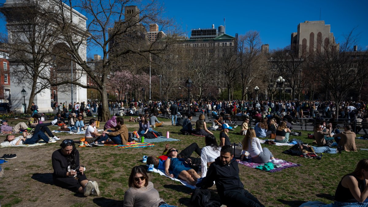
NEW YORK – Our dry spell continues with another week of sunny skies, as well as temperatures reaching the 80s at the end of the work week, possibly breaking records.
Monday begins the warm temperature trend after a cool morning. Temperatures aren’t expected to rise beyond the mid-60s, but that’s when things start to change.
The next two days will take us into the 70s before we see a real opportunity to break some record high temperatures to close out the second week of April.
By Thursday, we will begin to climb into the 80s and peak in the mid 80s on Friday. New York’s forecast for that day is 84 degrees, near average for early July (minus humidity).
On the other hand, it is important to point out that the humidity and the gusts of wind on Tuesday and Wednesday increase the risk of fire in the sector.
We shouldn’t take another shower until Sunday, when our odds increase later in the day.
Most Friday records were set in the 1940s. We should be within a degree or two of hitting those highs for Central Park, LaGuardia and JFK airports, as well as Bridgeport and Poughkeepsie.
Check out the glorious 10-day forecast for New York below.

