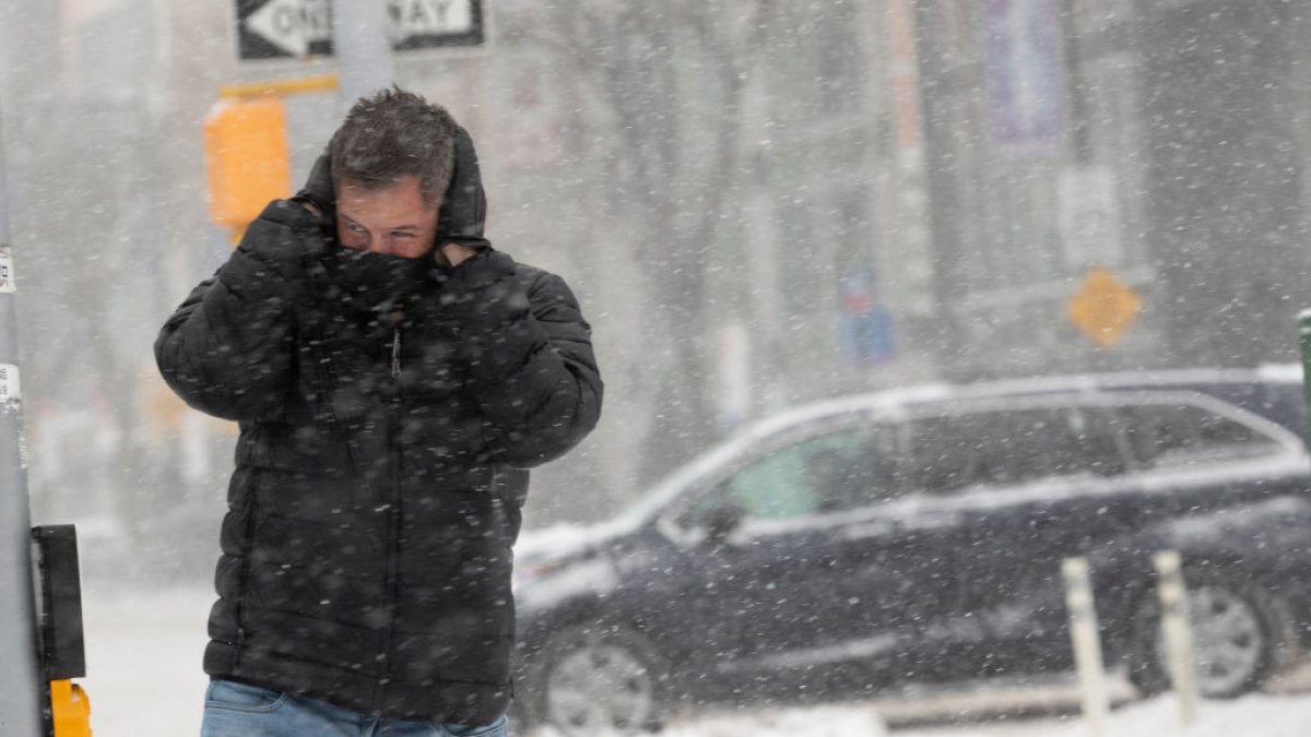
NEW YORK – Governor Kathy Hochul on Monday deployed additional resources and personnel to several areas that are expected to be impacted by a winter storm that hits our region Monday evening and continues through Wednesday.
Large areas of the Capital Region, central New York, central Hudson, Mohawk Valley and northern parts of the country could see up to two feet of snow during this time. Higher elevations in the capital and central Hudson regions, where the heaviest snowfall is expected, could receive up to three feet of snow Wednesday morning.
Western New York and Finger Lakes areas could see up to 8 inches or more of snow by Wednesday. For these areas, heavy wet snow will begin Monday evening and wind gusts up to 45 mph on Tuesday will increase the risk of power outages and related impacts. New York and Long Island are expected to receive up to two inches of snow, but will mostly see rain that can cause minor coastal flooding.
The governor will declare a state of emergency which will take effect at 8:00 p.m. Monday and includes Albany, Broome, Cayuga, Chenango, Columbia, Cortland, Delaware, Dutchess, Essex, Fulton, Greene, Hamilton, Herkimer, Lewis, Madison, Montgomery, Oneida, Onondaga, Ontario, Orange, Oswego, Otsego, Putnam, Rensselaer, Saratoga, Schenectady, Schoharie, Schuyler, Seneca, Sullivan, Tioga, Tompkins, Ulster, Warren, Washington, Wayne, Yates and contiguous counties.
“New Yorkers must now prepare for a multi-day event that will bring up to three feet of snow to parts of the Capital Region and Mid-Hudson region,” Gov. Hochul said. . “State agencies spent the weekend preparing emergency response assets, my team is in constant contact with local authorities, and we have activated the National Guard to assist with the emergency response. This storm will create hazardous road conditions through Wednesday morning, and I encourage New Yorkers in affected areas to stay home and avoid unnecessary travel to allow plow crews to do their jobs.”
To see updates from the storm, go here.

